New Science
Gigantic Undersea Fresh-Water Aquifer Mapped Off US Northeast
| June 23, 2019
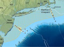
Eddie Gonzales Jr. – MessageToEagle.com – A gigantic aquifer of relatively fresh water trapped in porous sediments lying below the salty ocean, has been discovered by a team of
Read More