
Large Underwater Site That Was Home To 500,000 People About 14,000 Years Ago Identified Northwest Of Australia
Jan Bartek – MessageToEagle.com – Some already call it Australia’s lost Atlantis, but it is not quite the mythical underwater city Plato mentions. A large underwater site that was home to hundreds of thousands of people has been identified and mapped by scientists. Rising seas submerged the land northwest of Australia at the end of the last glacial period.

Rough sea along the coast in Australia. Credit: Adobe Stock – totajla
Using newly available high-resolution sonar data, the research team reconstructed the topography of the 400,000 square kilometers of land that is now covered by the Indian Ocean, known as the Northwest Shelf.
It was previously thought to have been inhabited, but this was not the case. Modeling reveals the drowned shelf could have supported between 50,000 and 500,000 people.
“For most of the period of human occupation of Sahul (the combined Pleistocene landmass of Australia and New Guinea), lower sea levels exposed an extensive area of the northwest of the Australian continent, connecting the Kimberley and Arnhem Land into one vast area.
Our analysis of high-resolution bathymetric data shows this now-drowned region existed as an extensive archipelago in Marine Isotope Stage 4, transforming in Marine Isotope Stage 2 into a fully exposed shelf containing an inland sea adjacent to a large freshwater lake. These were encircled by deep gorges and escarpments that likely acted as important resource zones and refugia for human populations at that time.
Demographic modelling shows the shelf had a fluctuating potential carrying capacity through Marine Isotope Stages 4–2, with the capability to support 50–500 k people at various times,” the scientists write in their study published in the journal Quaternary Science Reviews.
Lead author of the study Kasih Norman at Griffith University in Brisbane noted that the inland sea existed in a stable form between 27,000 and 17,000 years ago. A 2,000-square-kilometer freshwater lake nearby was also stable from 30,000 to 14,000 years ago. The lake would have been a vital refuge for people escaping the arid conditions of the Australian continent to the south.
As reported by New Scientist, knowledge of this land has existed in modern times because of oil and gas exploration. Still, Geoscience Australia has recently released detailed sonar data, with each pixel representing an area of just 30 by 30 meters.
“This is a high enough resolution to be able to talk about landscape features that were important to people,” Norman said.
“This massive landscape that is not there now would have been unlike anything that we have in Australia today. To have a freshwater lake of that size next to an inland sea is just incredible and people would have been living across it. This is a lost landscape that people were using.” she added.
The inland sea existed in a stable form between 27,000 and 17,000 years ago, the study found.
The nearby 2000-square-kilometre freshwater lake was stable from 30,000 to 14,000 years ago. The lake would have been a vital refuge for people escaping the arid conditions of the Australian continent to the south.
“Our findings that the Northwest Shelf of Sahul likely contained a rich and varied sequence of mosaic environments through Marine Isotope Stages 4–2 have implications for the successful transition made by the first Australians from island Wallacea to Sahul.
It is clear that the temptation to ignore the continental shelf margins of Late Pleistocene Sahul in debates of early peopling and expansion carries the risk of both oversimplifying and misunderstanding important elements of this period of history.
Our analysis indicates the Northwest Shelf was a large habitable landscape that connected the now-separated ancient archaeological landscapes of the Kimberley and Arnhem Land.
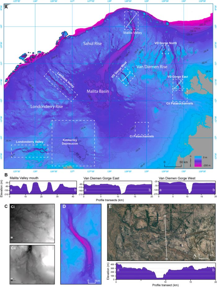
A Continental shelf of Northwest Sahul with landscape features discussed in text demarcated by dashed white boxes. B Elevation profile transects of the Malita Valley mouth, and Van Diemen Gorge East and Van Diemen Gorge West. C Palaeochannels visible in bathymetric data. D Bathymetric data showing Van Diemen Gorge East. E Satellite imagery and elevation profile transect of Deaf Adder Gorge in western Arnhem Land. Bathymetric data: high-resolution depth model for Northern Australia −30 m (Beaman, 2018). Satellite imagery: Landsat image courtesy of the U.S. Geological Survey.
Reconstructing the palaeoecology of these landscapes in sophisticated ways remains an important goal for future research to understand the potential lifeways of the First Australians. The appearance of new and distinctive rock art styles in the Kimberley and Arnhem Land coincides with major shelf-drowning events and a noticeable increase in stone artefact discard across both regions.
We interpret this as the retreat of human populations from the Northwest Shelf as sea levels rose. Now submerged continental margins clearly played an important role in early human expansions across the world. The rise in undersea archaeology in Australia will contribute to a growing worldwide picture of early human migration and the impact of climate change on Late Pleistocene human populations,” the research team concluded in their study.
The study was published in Quaternary Science Reviews
Written by Jan Bartek – MessageToEagle.com – AncientPages.com Staff Writer
Related Posts
-
 Rise Of Oxygen On Early Earth Sheds Light On Life On Other Planets
-
 A-74 Iceberg Near Collision With Brunt Ice Shelf
-
 The 460Km-Long River Beneath Antarctic Ice Sheet Could Affect Ice Loss
-
 Earth’s Ancient Water Cycle Was Key To Making Continents- New Study
-
 Plant-Based Diets Could Help To Reduce Effects Of Dangerous Carbon Emissions
-
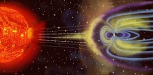 Giant Coronal Mass Ejection Created A Crack In Earth’s Magnetic Shield
-
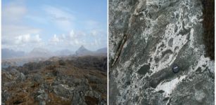
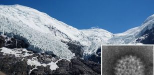 15,000-Year-Old Viruses Discovered In Tibetan Glacier Ice – Some Are Still Alive
-
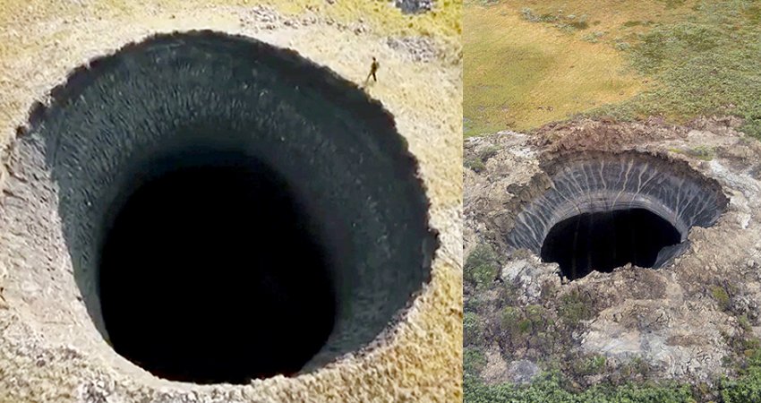 New Giant 50-Metre Deep Sinkhole Just Opened Up In The Arctic – This One Is Unique Scientists Say
-
 Rain Can Really Move Mountains – New Study Proves
-
 Zealandia: New Continent Discovered Underwater Beneath New Zealand