Struve Geodetic Arc With 265 Landmarks From Arctic Norway To The Black Sea
MessageToEagle.com – The Struve Geodetic Arc was laid out in 1816-1855 under direction of Wilhelm von Struve (1793 – 1864), a German astronomer, in order to finally establish the exact size and shape of the planet earth.
It represents a gigantic surveying accomplishment, which took 39 years to complete from 1816 to 1855 and was undertaken through cooperation between the governments of Russia, Sweden and Norway.

The Geodetic Arc consists of 265 measured landmarks along a route of 2820 kilometers crossing ten countries (Belarus, Estonia, Finland, Latvia, Lithuania, the Republic of Moldova, Norway, the Russian Federation, Sweden and Ukraine).
It stretches from one of the northernmost towns in the world, Hammerfest, Norway to Izmail, a historic city on the Danube river, in south-western Ukraine.
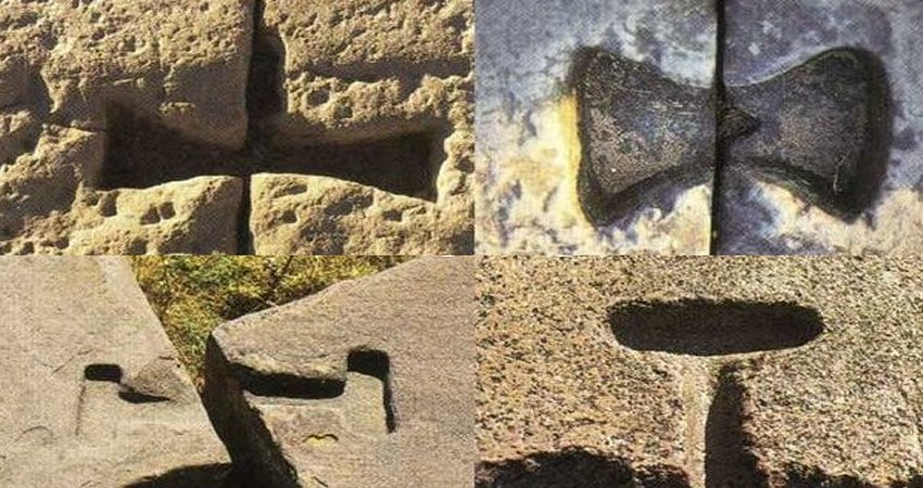
The points are marked by drilled holes, cross marks in stone, carved crosses or cairns.
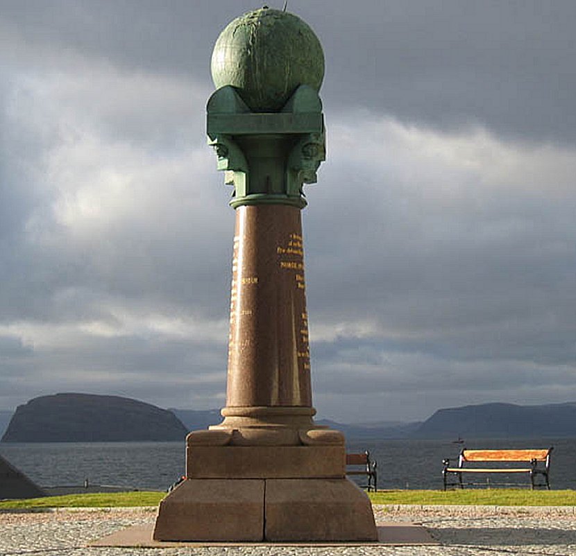
The four Swedish World Heritage points of a total of seven points that currently exist on Swedish soil are located on the mountains Tynnyrilaki, Jupukka, Pullinki and Perävaara, in the municipalities of Kiruna, Pajala, Övertorneå and Haparanda.
In the 17th century, Sir Isaac Newton, (1642-1727), mathematician and physicist, one of the foremost scientific intellects of all time, claimed that the earth is not perfectly round, but slightly flattened at the poles.
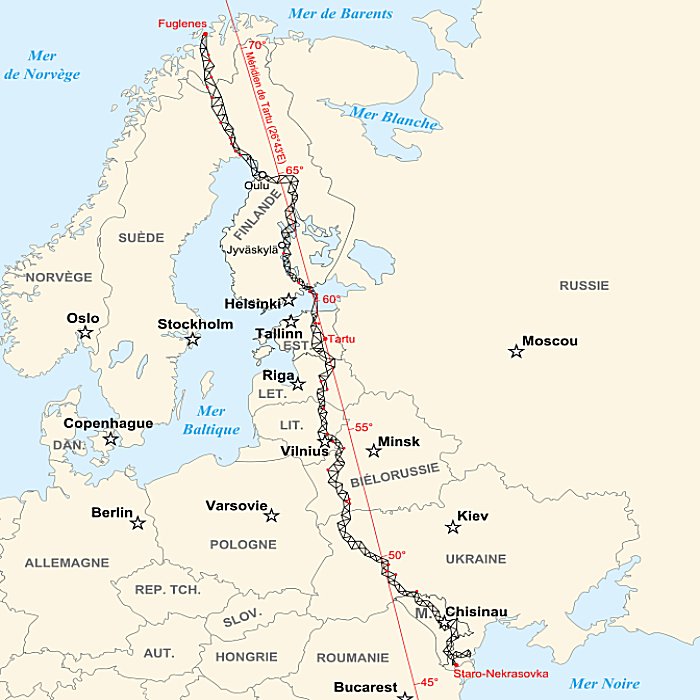
In the beginning of the 19th century, Wilhelm Struve, who conducted much of his astronomical research in Tartu Observatory in Estonia, began to investigate the earth’s size, shape and value of the globe’s flattening. His measurements, mainly angle measurements in triangles, culminated in what came to be known as the Struve Geodetic Arc.
The measurements were surprisingly accurate and have been used for several scientific purposes, such as development of topographic mapping. They have also contributed to establish the precise size and shape of the globe.
Struve himself was appointed “European Surveyor of the Year 2014” by the Council of European Geodetic Surveyors (CLGE)
MessageToEagle.com
Expand for references

